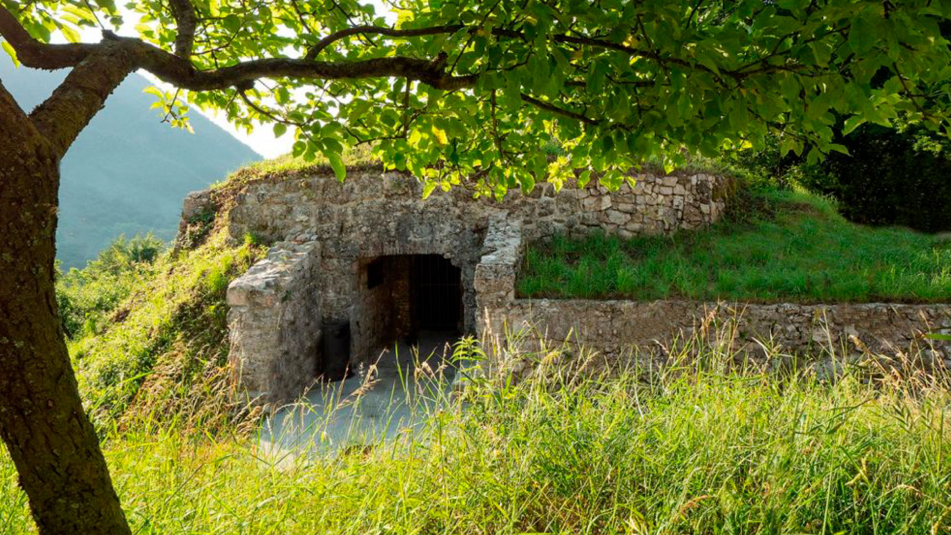
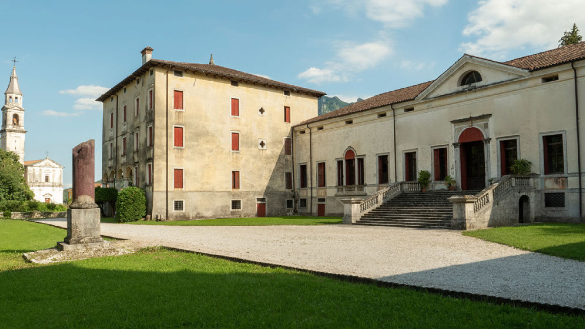


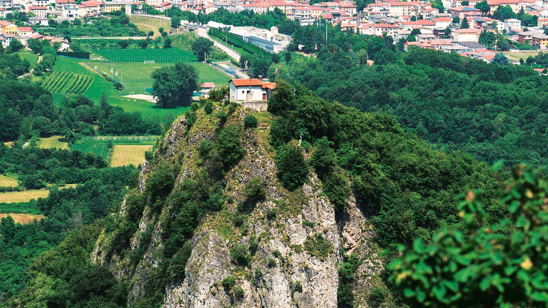
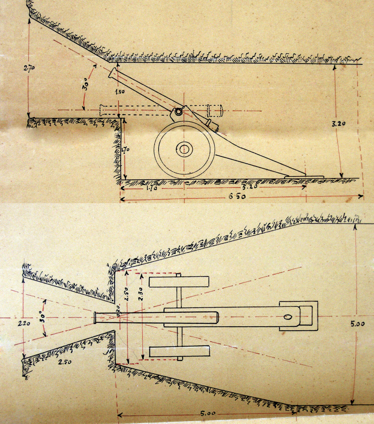
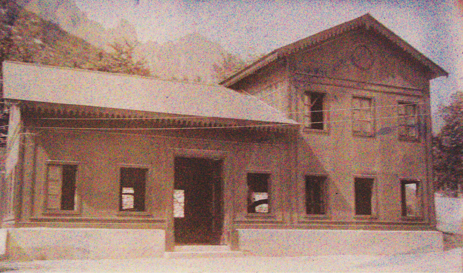
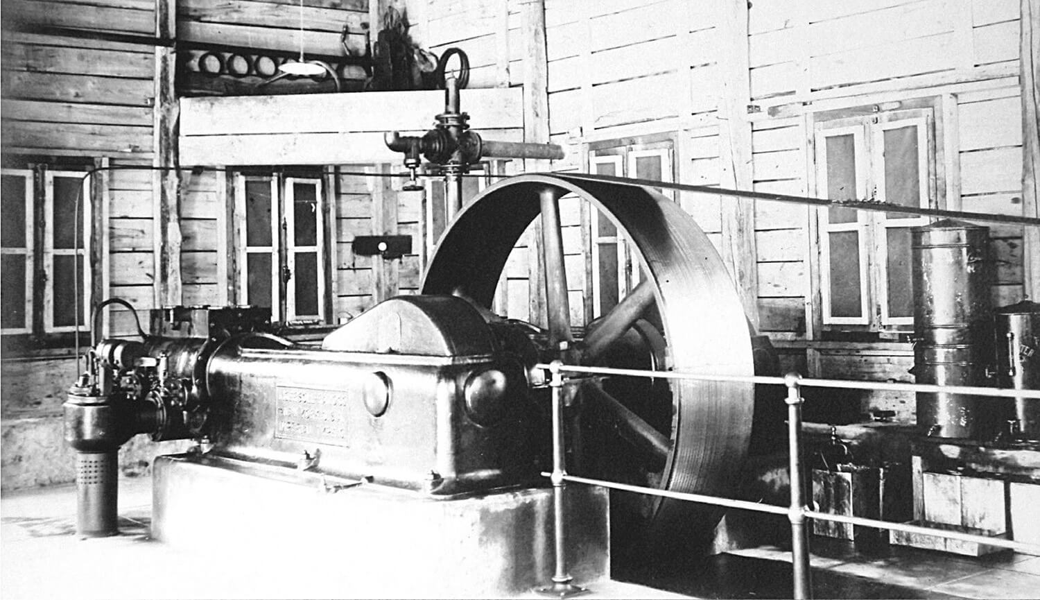
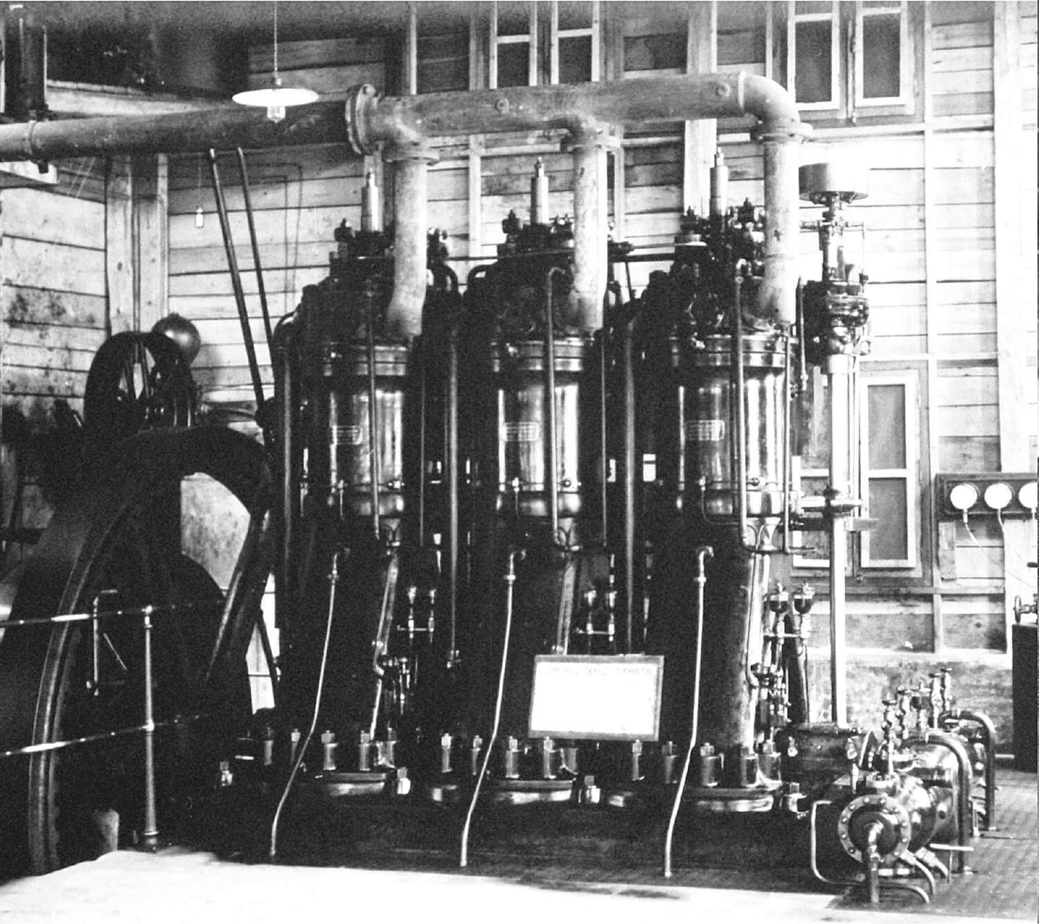
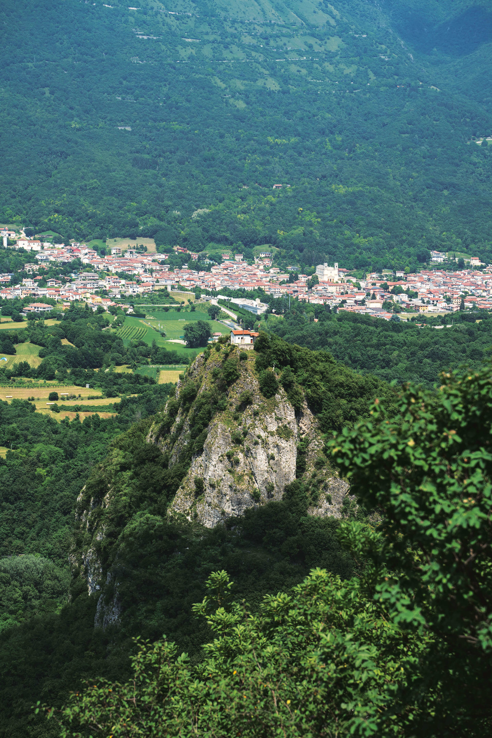
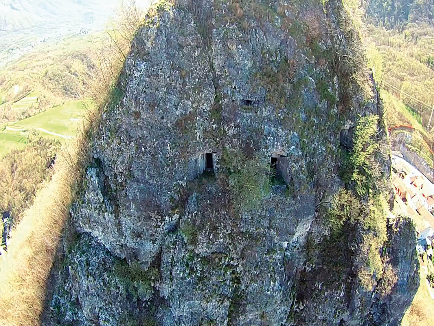
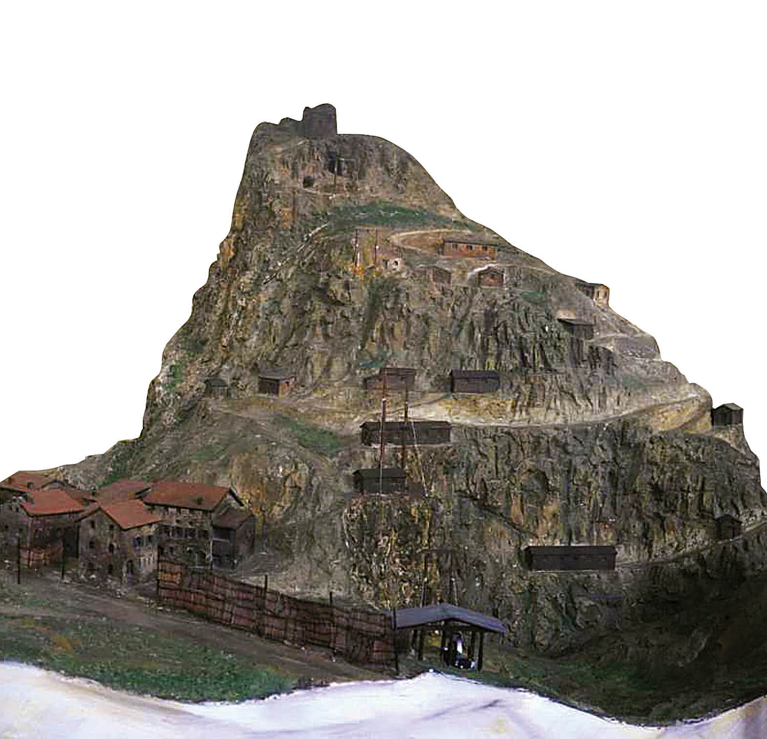
After the Austro-Hungarians had retaken Monte Cimone, which stood in the Astico-Posina sector, they set up permanent defences on the Winterstellung (Winter Line). The line was dug from the eastern edge of the northern slope of Val d’Assa to the left slope of upper Val Posina, and its key positions, mounts Cimone, Seluggio and Maio, were believed to be impregnable. In autumn 1916, both the Austro-Hungarian and Italian armies began using their troops to further bolster their respective defenses by digging numerous caverns and underground bunkers. During this time, Italy’s military engineers built a second line of defences, known as la linea di massima resistenza, completing them in spring 1917. The start of the line ran down the side of Monte Pasubio, then followed the ridges bordering the right face of Val Posina until it reached Monte Summano. From here, it descended towards the valley along Costa La Rancina, crossed the River Astico in a north-easterly direction at Castello di Meda, crossed the Cogollo countryside and then ascended Monte Cengio, hooking up with Punta Corbin and continuing along the southern edge of Val d’Assa. After the launch of Austro-Hungary’s Straféxpedition, which threatened the Vicenza plain, the Italian 1st Army began labouring feverishly to build a defensive line that could resist any attack. The countryside between Arsiero and Piovene was crossed by four consecutive lines of trenches which connected the defensive positions on the east slope of Monte Priaforà and on Monte Summano with those along the southern stretch of Altopiano dei Sette Comuni. Castello di Meda had been transformed into a stronghold with a host of artillery positions in caverns and tunnels, the result of extensive excavation work made possible by a vast construction site at Meda. This site had a motorless reversible cableway system, precious water resources from the Fontana spring, and a compressed-air production plant based inside a shack masquerading as a house. The plant was powered by a fuel-oil engine and comprised a vast network of iron pipes that carried compressed air to the top of Castello di Meda and Monte Summano.
MAIN DEFENCES
Linea M. Cengio – Ronchi Alti – Ca’ della Forcella – Schiri – Seghe di Velo – Villa Velo – Campo Bagolo – M. Brazome (sbarramento delle 3 Bocchette).
REAR DEFENCES
Linea strada del Costo (q. 498) – Follon – Astico – Meda.
Linea Chiuppano – Rocchette – C. Priare – Costa la Roncina – M. Summano – Poggio Gorlini – S. Ulderico.
Sources: research by Studio Avvi. Report on 28/02/1917, X° CORPO D’ARMATA.
“1915-1918 Memorie della Grande Guerra” edited by Luigi Cortelletti. Historian Siro Offelli.